Location: Tecpán, Chimaltenango
Elevation: Approximately 2,260 m (7,415 ft)
Founded: Around 1470
Civilization: Kaqchikel Maya
Historic Role: Last capital of the Kaqchikel Maya kingdom
Colonial History: Became the first capital of the Spanish Kingdom of Guatemala in 1524
Name Meaning: “Tree of Maize” or “Place of Maize Trees” in Kaqchikel
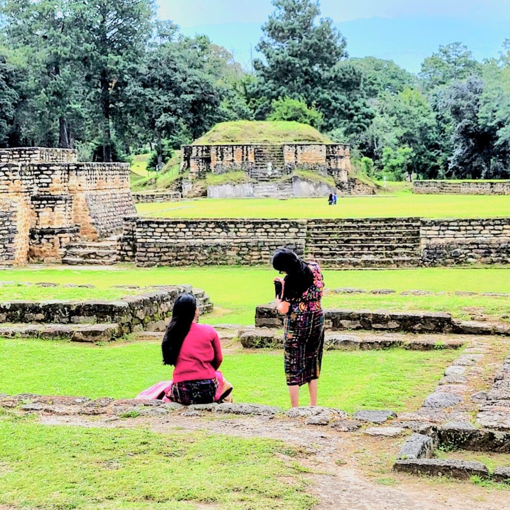
Archaeological Features: Plazas, temples, palaces and ball courts
Sacred Site: Remains an active ceremonial site for Maya spiritual practices
Setting: Highland plateau surrounded by pine forests and natural ravines